Strategically Located in South-Central Florida | FTZ-Eligible | Fast-Track Permitting Available

Connected to Florida’s Core

Location Summary

Strategic Frontage That
‍Moves Business

Centrally positioned with direct inland access to Florida's Turnpike, I-95 and I-75, Okeechobee Commerce Park delivers efficient coast-to-coast reach across Florida, seamless statewide coverage, and rapid distribution throughout the Southeast and beyond.

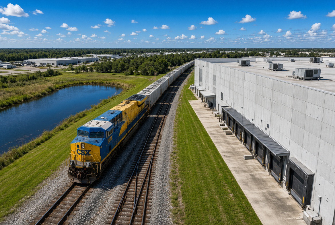
Direct Frontage on SR70 - slated for FDOT widening - connects into Florida’s core highway network, while CSX mainline rail frontage links the site into the national freight system. Proximity to the CSX Intermodal Terminal at Winter Haven, along with multiple deepwater ports provides unmatched multimodal flexibility to both domestic and global markets.

Florida is the nation’s #1 fastest-growing state, top ranked for net in-migration, and one of the largest labor markets in the U.S.. More than 1.2 million people are within a one-hour drive and over 20 million within four hours, giving companies immediate access to a deep, diverse, and expanding workforce across Florida’s most dynamic regions.

STATEWIDE ACCESS

Connected across Florida

Okeechobee Commerce Park’s State Road 70 frontage links to Florida’s highway network and major seaports.

OKEECHOBEE
COMMERCE PARKState Road 70 · CSX frontage
I-10I-75I-4I-95FL TPKESR 70US 441PORT TAMPA BAY141 MI / ~2 HR 35 MINPORT CANAVERAL130 MI / ~2 HR 5 MINPORT OF FORT PIERCE43 MI / ~1 HRPORT OF PALM BEACH66 MI / ~1 HR 25 MINPORT EVERGLADES123 MI / ~2 HR 10 MINPORTMIAMI135 MI / ~2 HR 25 MINOKEECHOBEE COMMERCE PARKLAKE OKEECHOBEEMAP LEGENDInterstateFlorida’s TurnpikePort route

Port distances and approximate passenger vehicle times from the published OCP coordinate. Routes are schematic; check current traffic, terminal gates, tolls and truck access before travel. Google Maps estimates checked September 30, 2026. Map outline: PublicaMundi; routing geometry: OSRM/OpenStreetMap. © OpenStreetMap contributors.

Highway Access

Seamless Highway
Connectivity

SR 70: 4-lane expansion
Florida Turnpike: 35 min
I-95: 35 min
I-75: west coast corridor
Rail

Strategic Rail Access
‍
for Industry

CSX Class I Main Line - onsite access
Direct link to regional and freight networks
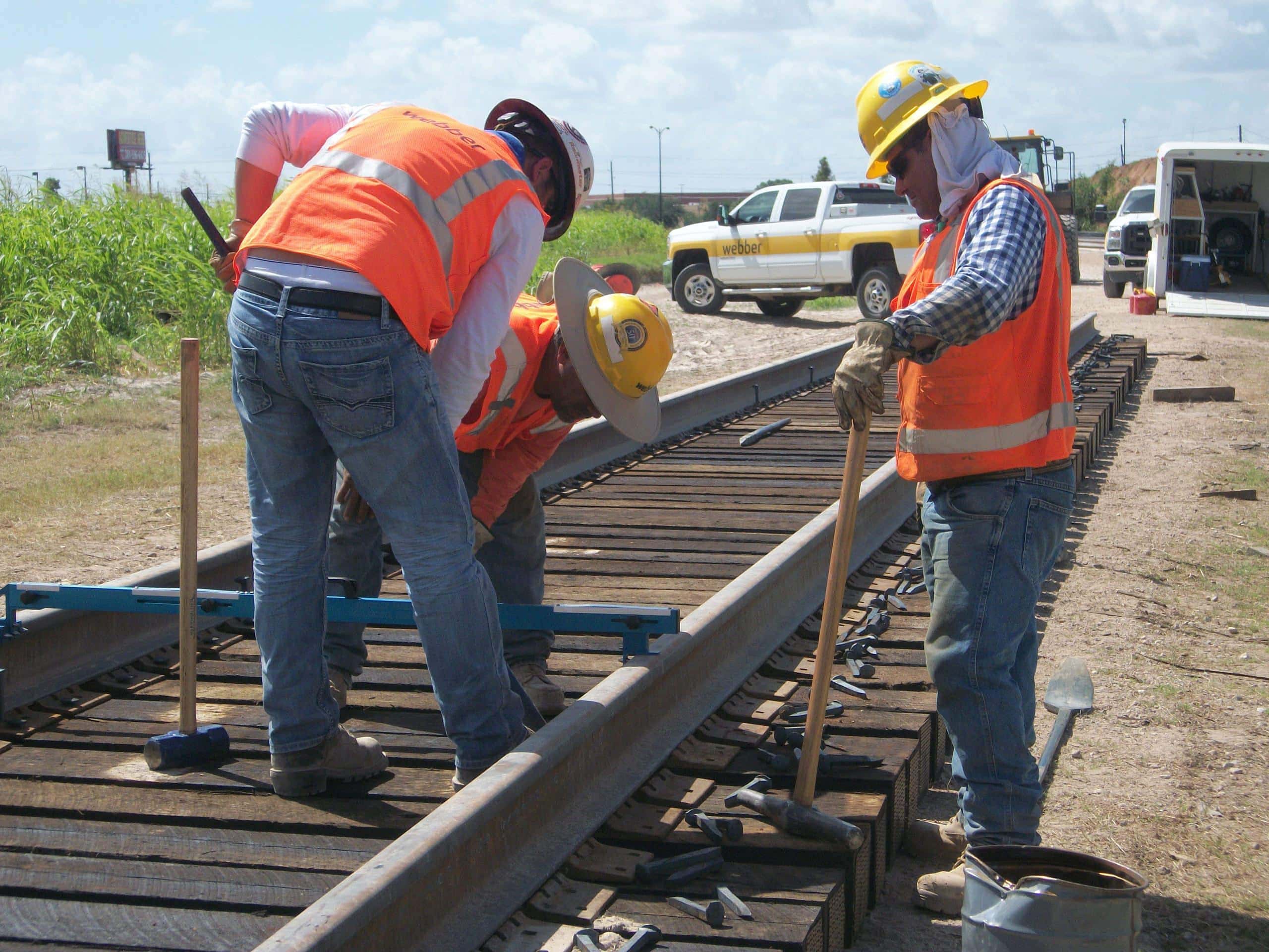
Future rail spur planned
Ports

Port Proximity for
‍Global Reach

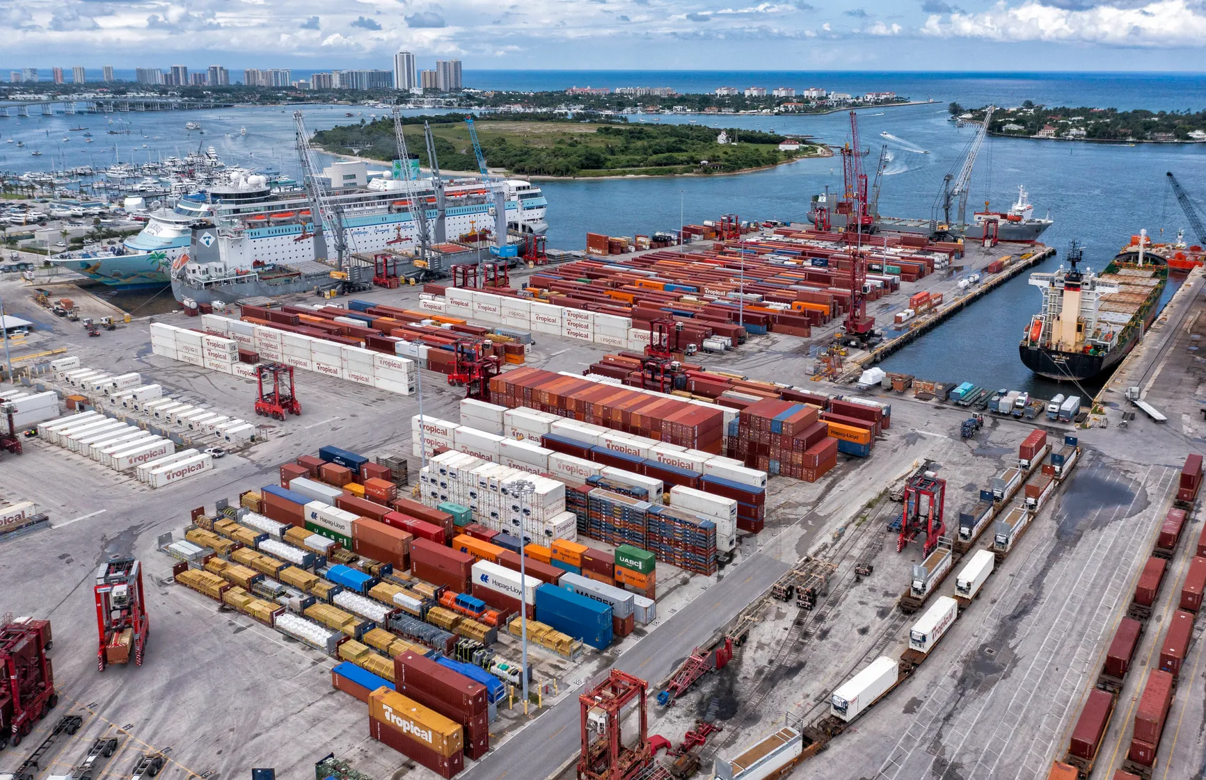
Aerial view of the Port of Palm Beach terminal with cargo, cranes and vessels
Port of Palm Beach – 66 miles (~1 hr 25 min)
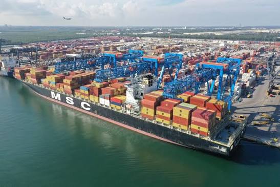
Aerial view of the Port Everglades container terminal with an MSC cargo ship and container cranes
Port Everglades – 123 miles (~2 hr 10 min)
Aerial view of the Port of Miami container terminal with a cargo ship, cranes and the Miami skyline
PortMiami – 135 miles (~2 hr 25 min)
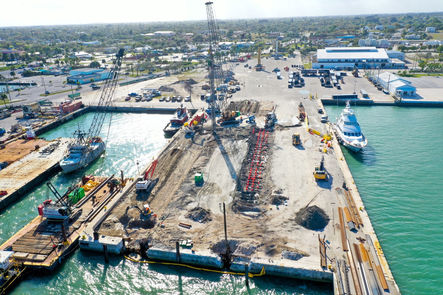
Aerial view of Fort Pierce Port with marine construction activity, cranes and vessels
Port of Fort Pierce – 43 miles (~1 hr)
Aerial view of the Port Tampa Bay container terminal with a cargo ship, cranes and container yard
Port Tampa Bay – 141 miles (~2 hr 35 min)
Airports

Direct Access to Regional Airports

Okeechobee County Airport (OBE) – 5 min
Palm Beach Intl (PBI) – 60 min
Orlando Intl (MCO) – 90 min
Miami Intl (MIA) & Fort Lauderdale (FLL) – ~2 hrs